Room 2
The shapes and
colour of the land
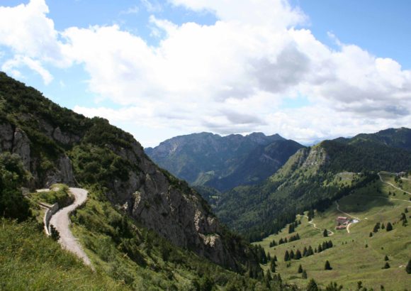
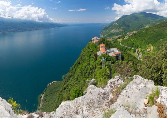
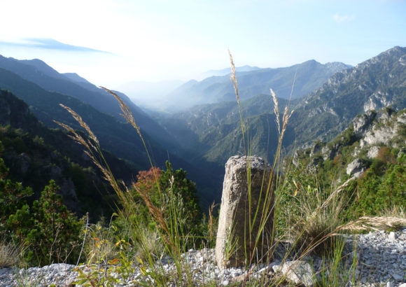
63 million years ago the continents of Africa and Eurasia began moving towards each other. The Tethys, a vast ocean which existed between the two continents, started to close and many mountain ranges, including the Alps, slowly started to rise. Between 28 and 5 million years ago, our regions started to form. It was during this phase that a complex system of folds formed within the rocks which can still be easily observed along the roads in the hinterland of Garda. There were also deep rifts in the rocks, known as faults, such as the Garda-Ballino line which goes through the entire lake basin from Desenzano to Riva. About 6 million years ago, the movements of the European and African plates slowly closed the Strait of Gibraltar, causing the drying up of the Mediterranean sea.
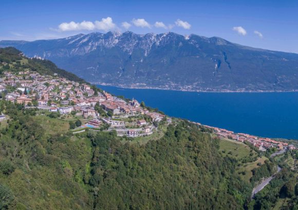
As a result, the rivers started to cut deep furrows into the rock on their way to the sea. The same thing happened to the river which flowed through the Garda valley where it formed a narrow and deep furrow. During the Alpine glaciations, the glaciers reached the Garda Valley, eroding and sharpening the rocks and then, as they began to melt, the debris transported started to deposit, forming moraines. The valley was closed in the south by the largest frontal moraines: it was the origin of Lake Garda. The body of water of the lake measures about 50 cubic kilometres and is completely changed every 27 years. The lake water has a mitigating effect on the climate of the region. It is colder than the air in summer and warmer in winter. This way it mitigates both the summer heat and the rigours of winter, giving Lake Garda a rather mild climate, almost mediterranean.
Two major winds blow on the lake: the Pelér and the Ora. The Pelér is a wind, which blows in the morning from north to south as a warm breeze forms on the lake and draws air from the Sarca Valley. The Ora, instead, blows in the afternoon until the evening, from south to north. It is a lake breeze, which pushes fresh air heated by the sun towards the mountains. The vegetation in the proximity of the Lake is semi-natural and consists of sub-Mediterranean forests of downy oaks, hornbeams and manna ash trees, while the most inaccessible and sunny sides feature turpentine trees, smoke trees and holm oaks, a type of Mediterranean evergreen oak. At higher altitudes, at about 1.000 metres, oaks and hornbeam trees become rarer and are replaced by forests of beeches, often mixed with ash trees and maples. Planted by man, the black pine can still be found on the steeper and most arid slopes while a more widespread tree is the Scots pine, especially on thin soils formed from the disintegration of dolomite rocks. At a higher altitude, above 1,500 metres, the beech is progressively replaced by the European spruce. Near the peaks of the mountains, the forest is replaced by shrubland with mountain pines and large meadows used as pastures for the cattle.


